Tehran’s Watchful Eye: Who’s Tracking US from Space?
From the very beginning of the confrontation between the US and Iran, one question kept surfacing: who is sharing intelligence with Tehran?
Segments of the American public, frustrated and puzzled, struggled to explain how what they described as a “backward theocracy” could mount such persistent and effective resistance against the highly advanced military power of the US, The Caspian Post reports via Russian media.
The question was repeatedly directed at US President Donald Trump, with many pointing fingers at Russia. Trump initially brushed off the claims and later firmly denied them. Similar denials were issued by Kremlin spokesperson Dmitry Peskov.
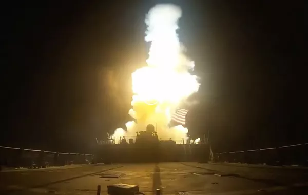
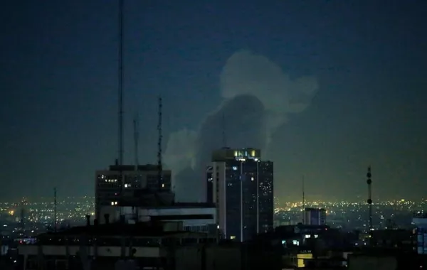
The question has resurfaced following an Iranian missile strike on the Prince Sultan Air Base in Saudi Arabia, which reportedly resulted in the destruction of a highly valuable Boeing E-3 Sentry airborne early warning and control aircraft.
Although it has always seemed puzzling why such accusations are directed specifically at Russia rather than China. This is not only because Iran-China ties are far more developed than those with Russia. After all, Iran is a key - arguably strategic - source of oil for China. As early as March 2021, the two countries signed a 25-year cooperation agreement that reportedly includes intelligence-sharing provisions.
Even two weeks before the outbreak of the conflict, Chinese sources published satellite imagery of the Muwaffaq Salti Air Base in Jordan and Al Udeid Air Base in Qatar. The images clearly showed US THAAD missile defense systems, command posts, long-range radar installations, and launch units. Notably, these very targets were reportedly among those struck and destroyed in the initial wave of Iranian missile attacks.
Moreover, instances of China’s space- and intelligence-related cooperation with its partners are already well documented. During the India-Pakistan conflict in May 2025, China reportedly provided Pakistan with satellite and intelligence support, giving it a clear advantage over India’s larger and more heavily equipped military.
Some Chinese Gaofen satellites do in fact operate over the Middle East. The Gaofen-3 passes over Israel and much of the Red Sea region (with Jordan and Saudi Arabia nearby). The orbits of Gaofen-8 - a high-resolution optical reconnaissance satellite - and the more advanced Gaofen-9 - whose imagery can distinguish a truck from a car - also run through nearby orbital paths.
Russia’s satellite presence over the conflict zone is also significant. In particular, this includes the spy satellites Bars-M No. 4 and Bars-M No. 5, launched in 2023. These satellites are equipped with the “Karat” optoelectronic system, which enables stereoscopic imaging - meaning they can produce not just flat images, but digital terrain models (3D maps of the landscape).
In addition, the Persona reconnaissance satellite operates over the Strait of Hormuz, designed for detailed imaging of objects with a resolution of up to 30-50 cm. Also active in the area is the Lotos-S1, part of the Liana satellite system, which is used for global space-based reconnaissance and target designation.
Even the so-called “backward theocracy” has its own space capabilities. Shortly before the attack, Iran publicly showcased its most advanced optical-electronic monitoring satellite, Payam satellite (its first, unsuccessful launch attempt took place back in 2019).
The satellite’s long-focus optical module offers a resolution of about 10 meters in color imaging and around 5 meters in black-and-white mode. This level of detail is not sufficient for reliable identification of armored vehicles or air defense systems. However, experts believe Iran may also possess satellites with resolutions of up to 2.5 meters.
It is also important to note that companies involved in commercial satellite intelligence are not limited to the US; they also exist in countries such as China. One example is MizarVision, which does not operate its own satellites but instead purchases satellite imagery and conducts subsequent analysis.
As a result, space-based reconnaissance has become so “democratized” that it is now possible, using open sources, to track the movement and deployment of US Armed Forces.